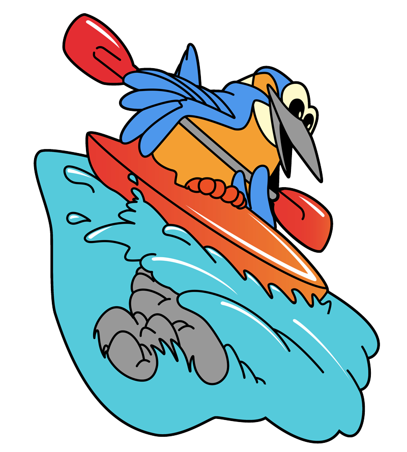
Semois Water Level – Check Conditions Before Your Kayak Trip
Today, [last_update]
Yesterday, [last_update]
Kayaking allowed
Water flow too high, shipping prohibited for safety reasons
Too little water to kayak properly
Navigation possible today, but may close any day now
Sailing time: between [opening_hours] and
Next update: [next_update_date] at 9:30 a.m.
BOOK ONLINE
Remember to book online for your kayak trip on the Semois! Quick, easy, and no prepayment needed. Secure your spot today!

Why is the water level important for your kayak trip?
The Semois is a beautiful river whose conditions change with the seasons. Its water level directly influences your kayaking experience:
- It determines the ease of your trip
- It affects the duration of your journey
- It impacts your comfort and enjoyment during the activity
Though usually calm and accessible, the Semois can have very low water levels during dry summers or faster currents after heavy rain. It’s useful to check the river’s condition before your visit.
Where can you check the current water level of the Semois?
The river flow is measured daily by the Walloon Region. To know exactly what to expect, you can check real-time measurements on their website:
You will get a figure in m³/sec that you can compare with our table below to better understand the current kayaking conditions.
Water Levels and Kayaking Conditions Table
35 à 49 m³
Conditions
Very high
Courant puissant, navigation express
Difficulty level & tips
Very fast current, minimal effort, shorter trip
Estimated duration
(7 km route)
40 min
20 à 34 m³
Conditions de navigation
High
Peu de pagayage nécessaire, descente fluide
Difficulty level & tips
Fast journey, minimal paddling required
Estimated duration
(7 km route)
1 h
14 à 19 m³
Conditions de navigation
Excellent
Courant idéal, navigation confortable
Difficulty level & tips
Ideal conditions, pleasant current
Estimated duration
(7 km route)
1h15
10 à 13 m³
Conditions de navigation
Very good
Bon équilibre en effort et courant
Difficulty level & tips
Good current, moderate paddling required
Estimated duration
(7 km route)
1h30
6 à 9 m³
Conditions de navigation
Good
Courant plus faible, pagayage modéré
Difficulty level & tips
Easy conditions, regular paddling required
Estimated duration
(7 km route)
1h45
4 à 5 m³
Conditions de navigation
Moderate
Navigation possible avec plus d’effort
Difficulty level & tips
Moderate effort, choosing the right path is helpful
Estimated duration
(7 km route)
2h
3 à 4 m³
Conditions de navigation
Low
Courant quasi inexistant, effort important
Difficulty level & tips
More physical effort, occasional stepping out to pull kayak
Estimated duration
(7 km route)
2h30
2,2 à 3 m³
Conditions de navigation
Very low
Kayak difficile à faire avancer
Difficulty level & tips
Physically challenging, frequent stepping out required
Estimated duration
(7 km route)
+3h
50 m³
Conditions de navigation
Forbidden
Trop bas ou trop fort
Difficulty level & tips
Kayaking not permitted, safety first
Estimated duration
(7 km route)
–
Good to know: Each person experiences kayaking effort differently. Your experience, fitness, and weight affect your ease on the water.
How to adjust your kayak trip according to the flow?
High flow
(20+ m³/sec)
You’ll advance quickly with minimal effort.
Moderate flow
(10-19 m³/sec)
Ideal conditions, perfect balance between current and paddling.
Low flow
(4-9 m³/sec)
More paddling required; choose your path carefully.
Very low flow
(2,2-3 m³/sec)
Physically demanding, you may need to exit and pull your kayak at times.
Check the current water level before your visit
Want to know the river conditions today? Check the current water level directly here:
The Semois is typically suitable for everyone. Whether you prefer leisurely paddling or a slightly more dynamic current, there’s always a way to enjoy your kayak adventure!